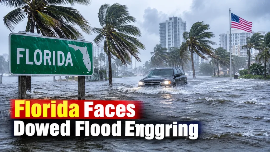

Severe Flooding Hits Florida’s Atlantic Coast
Florida’s Atlantic coast is facing a dangerous flooding situation as relentless storms continue to bring torrential rain across several communities. Heavy downpours on Tuesday night flooded streets, forced road closures and left vehicles stranded in rising water, particularly across southeastern Florida.
Broward County experienced some of the worst conditions, with Hollywood among the hardest-hit communities. More than a foot of rain fell in parts of the area within just a few hours, overwhelming drainage systems and flooding residential neighborhoods.
The situation remains serious as additional rounds of thunderstorms are expected to move through the region. Officials are urging residents to remain cautious as floodwaters continue to threaten roads, homes and local infrastructure.
Hollywood and Broward County Among the Hardest-Hit Areas
Hollywood, located in Broward County north of Miami, experienced particularly intense rainfall. According to the National Weather Service, rainfall rates reached between 5 and 8 inches per hour in some areas northwest of Hollywood.
The extraordinary rainfall quickly overwhelmed streets and drainage systems. Several roads became difficult or impossible to navigate, while floodwater entered homes and left motorists stranded.
Broward County officials declared a local state of emergency following the severe flooding. Hollywood’s mayor also issued an emergency declaration and encouraged residents to stay off flooded roads.
The damage highlights how quickly conditions can become dangerous when thunderstorms repeatedly move over the same communities.
Flood Warnings Remain in Effect Across South Florida
The National Weather Service has warned that the flooding threat is far from over. A Flood Watch remains in effect across Southeast Florida through Thursday evening, November 19.
Forecasters expect additional rainfall totals of around 2 to 4 inches across much of the region during the next 48 hours. However, some locations could receive considerably more rain if repeated thunderstorms develop over the same areas.
The National Weather Service has also warned that ongoing flash flooding could affect communities that have already received substantial rainfall.
Residents in Miami-Dade, Broward and Palm Beach counties should pay close attention to changing weather conditions and local emergency announcements.
More Heavy Rain Could Bring Dangerous Conditions
The weather pattern responsible for the storms involves persistent moisture moving toward Florida’s eastern coastline. A low-pressure system over the Gulf, combined with other atmospheric disturbances, is helping maintain conditions favorable for repeated thunderstorms.
The Weather Prediction Center has identified parts of Florida’s Space Coast and Treasure Coast as areas facing an elevated risk of excessive rainfall.
Some storms could remain nearly stationary or repeatedly develop over the same locations. This increases the possibility of sudden flooding, particularly in low-lying neighborhoods and urban areas.
Strong winds and rough ocean conditions are creating additional concerns. Atlantic seas could reach 8 to 12 feet through Thursday, while dangerous rip currents are expected along several South Florida beaches.
Officials Urge Residents to Stay Away From Flooded Roads
Emergency officials are asking residents to avoid unnecessary travel while dangerous flooding continues. Even relatively shallow floodwater can hide road damage, open drains and other hazards.
Drivers should never attempt to cross a flooded street, especially when water is moving quickly or its depth is difficult to judge.
Residents should also consider the following precautions:
- Monitor local weather alerts and emergency announcements.
- Avoid driving through standing or moving floodwater.
- Move important belongings away from areas vulnerable to flooding.
- Stay away from beaches experiencing dangerous surf and rip currents.
- Follow evacuation or emergency instructions issued by local authorities.
With more rain expected, the coming hours could be critical for communities already dealing with flooded homes and damaged roads.
How Long Will Florida’s Storm Threat Continue?
The immediate threat is expected to continue through Thursday, with additional rainfall possible on Friday depending on how the weather system develops.
Forecasters expect conditions to gradually become more favorable over the weekend as drier air moves into the region. However, the exact timing and location of the heaviest rainfall remain uncertain.
For residents along Florida’s Atlantic coast, the priority remains staying safe as emergency crews respond to flooding and weather conditions continue to change.
FAQs
1. Why is Florida experiencing severe flooding?
Persistent moisture, repeated thunderstorms and a slow-moving weather system are bringing intense rainfall to Florida’s Atlantic coast. The heavy downpours have overwhelmed drainage systems in several communities.
2. Which areas of Florida are most affected?
Broward County, particularly Hollywood, has experienced significant flooding. Miami-Dade, Palm Beach, the Space Coast and Treasure Coast are also facing continued heavy rain and flooding risks.
3. How long will the Florida flood threat last?
The National Weather Service has a Flood Watch in effect across Southeast Florida through Thursday evening, November 19. Additional heavy rainfall could continue into Friday before conditions potentially improve over the weekend.