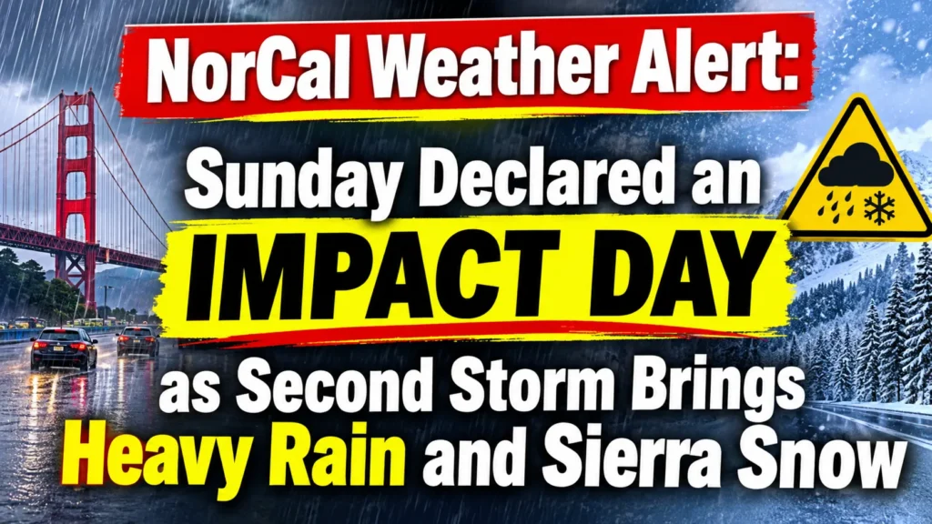

IMPACT DAY Northern California is preparing for another round of stormy weather as a second Pacific storm system moves into the region on Sunday, November 15. After a brief break following Friday’s powerful storm, rain is expected to return across the Sacramento Valley, foothills and surrounding communities, while mountain areas prepare for another round of snowfall.
Sunday has been declared an IMPACT DAY by KCRA 3 meteorologists because of the expected rain, changing road conditions and accumulating mountain snow. Although this system is not expected to bring winds as strong as the previous storm, prolonged precipitation could still create problems for people traveling across Northern California.
Rain Returns to Sacramento Valley on Sunday
Sunday will start with mostly cloudy skies, with a few scattered showers possible during the morning. However, conditions are expected to become wetter around midday as the second storm system moves farther into Northern California.
Sacramento and nearby Valley communities could see rain beginning around noon or early afternoon. Steadier rainfall is expected to develop later in the afternoon, with moderate rain possible during the evening and overnight hours.
The foothills will also experience increasing rain chances as the system moves eastward. Residents should prepare for wet roads, reduced visibility and slower travel, particularly during the evening commute.
Sierra Nevada Prepares for Another Round of Snow
The biggest concern for mountain communities will be the return of snowfall. Precipitation is expected to reach the Sierra during the late afternoon or around dinnertime Sunday.
Snow levels are forecast to begin near 7,000 feet before dropping toward 6,000 feet overnight. That change could bring accumulating snow to higher elevations, with heavier snowfall possible Sunday night and into Monday morning.
Some forecast models indicate that snow could continue through Monday morning and around lunchtime before gradually weakening during the afternoon.
Drivers heading toward Lake Tahoe and other Sierra destinations should be prepared for changing road conditions. Chain controls are likely in mountain areas, and travel could become difficult during periods of heavier snowfall.
Winds Will Be Weaker Than Friday’s Storm
While another round of wet weather is approaching, the second system is expected to be less intense in terms of wind strength.
Friday’s storm brought stronger winds and significant weather IMPACT DAY across parts of Northern California. Sunday’s system is expected to produce lighter winds and somewhat lower precipitation totals in many locations.
However, weaker winds do not mean the weather will be harmless. Several hours of rainfall can still create slippery roads, standing water and localized travel disruptions.
Residents should also keep an eye on changing weather conditions overnight as rain becomes steadier and snow accumulates in the mountains.
Monday Brings Lingering Rain and Mountain Snow
The storm will not disappear immediately after Sunday night. Rain across the Valley and foothills should gradually weaken early Monday, although a few light showers could remain during the morning commute.
The Sierra will continue to experience more significant winter weather impacts. Snow could persist into Monday afternoon before conditions begin improving.
Monday has also been identified as an IMPACT DAY for the Sierra because of the longer-lasting snowfall and potential travel difficulties.
Tuesday is expected to provide a much-needed break, giving residents time to clean up, check travel conditions and prepare for another approaching weather system.
Another Potentially Stronger Storm Could Arrive Wednesday
The break in the weather may be short-lived. Meteorologists are tracking a third storm system expected to approach Northern California late Tuesday and bring more widespread rain and wind from Wednesday into Thursday.
This next system could be stronger than the first two, with heavier rainfall, stronger southerly winds and additional mountain snow IMPACT DAY.
Snow levels could fall to approximately 3,500 feet before rising again later in the system. That could bring winter weather concerns to elevations that did not experience significant snowfall during the earlier storms.
Wednesday and Thursday have already been identified as potential IMPACT DAYS across the region.
Frequently Asked Questions
1. Why is Sunday an IMPACT DAY in Northern California?
Sunday is an IMPACT DAY because a second storm is expected to bring widespread rain to the Valley and foothills, along with accumulating snow in the Sierra.
2. When will the rain arrive in Sacramento?
Scattered showers are possible in the morning, while steadier rainfall is expected around midday or early afternoon, becoming heavier later in the day and overnight.
3. Is another storm expected after Sunday?
Yes. A third and potentially stronger storm system is expected Wednesday and Thursday, bringing additional rain, stronger winds and mountain snow.



Pingback: Ronaldinho Returns at 46! Brazil Legend Makes Stunning Comeback With Italian Club Ravenna - GyanDe.Com